REGINA - Update: A Severe Thunderstorm Warning is in effect for:
R.M. of Elmsthorpe including Avonlea and Truax
At 3:12 PM CST, Environment Canada meteorologists are tracking a severe thunderstorm capable of producing very strong wind gusts, up to nickel size hail and heavy rain. Heavy rain may cause flash flooding and significant reductions to visibility. Large hail may cause significant damage and injury.
R.M. of Excel including Viceroy Ormiston and Verwood
At 3:10 PM CST, Environment Canada meteorologists are tracking a line of severe thunderstorms capable of producing very strong wind gusts, up to nickel size hail and heavy rain. Heavy rain may cause flash flooding and significant reductions to visibility. Large hail may cause significant damage and injury.
R.M. of Redburn including Rouleau and Hearne
At 2:33 PM CST, Environment Canada meteorologists are tracking a line of severe thunderstorms capable of producing very strong wind gusts, up to nickel size hail and heavy rain.
Thunderstorm Location: Spring Valley 15 km (14 km) south of Crane Valley Motion: Northeast at 30 km/h Hazards: Wind: 90 - 110 km/h Hail: nickel size (2 cm) Rain: 50 - 75 mm
Locations in the Path: Avonlea Ormiston Bayard Claybank
Heavy rain may cause flash flooding and significant reductions to visibility. Large hail may cause significant damage and injury. Take immediate cover if a thunderstorm approaches. If outside, protect yourself from flying debris and hail. Severe thunderstorms can produce tornadoes.
--------
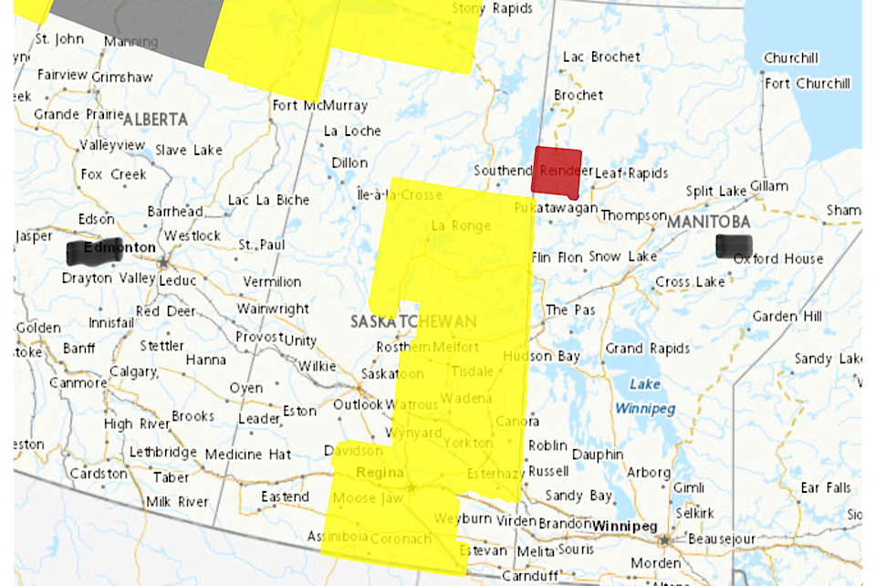
Environment Canada has issued a Severe Thunderstorm Watch covering much of the eastern and southeastern portion of Saskatchewan including the cities of Regina and Moose Jaw.
The weather watch area includes the far North, and also extends from north of La Ronge to the US border, excluding the farthest southeast corner of the province. Melfort, Weyburn, Estevan.Yorkton and Melville are also included in the watch area.
According to Environment Canada:
"Conditions are favourable for the development of severe thunderstorms that may be capable of producing strong wind gusts, large hail and heavy rain. A trough of low pressure is expected to trigger scattered thunderstorms this afternoon over southern and central Saskatchewan. Primary threats will be 3 to 5 cm hail, 90 to 100 km/h wind gusts and heavy rain. A tornado or two also cannot be ruled out, especially over south central regions this afternoon. If the tornado threat increases, portions of the severe thunderstorm watch may be upgraded to a tornado watch this afternoon as conditions are monitored. The thunderstorm threat will diminish late this evening."


